
CAREERS
(2) LAND SURVEY TECHNOLOGIST
Job Details
- Terms of Employment: Permanent employment, Full time
- Start Date: Starts as soon as possible
- Education: Bachelor’s degree
- Experience: 2 years to less than 3 years
Experience and Specialization
Computer and Technology Knowledge:
- Computerized land information system
- Geographic Information System (GIS)
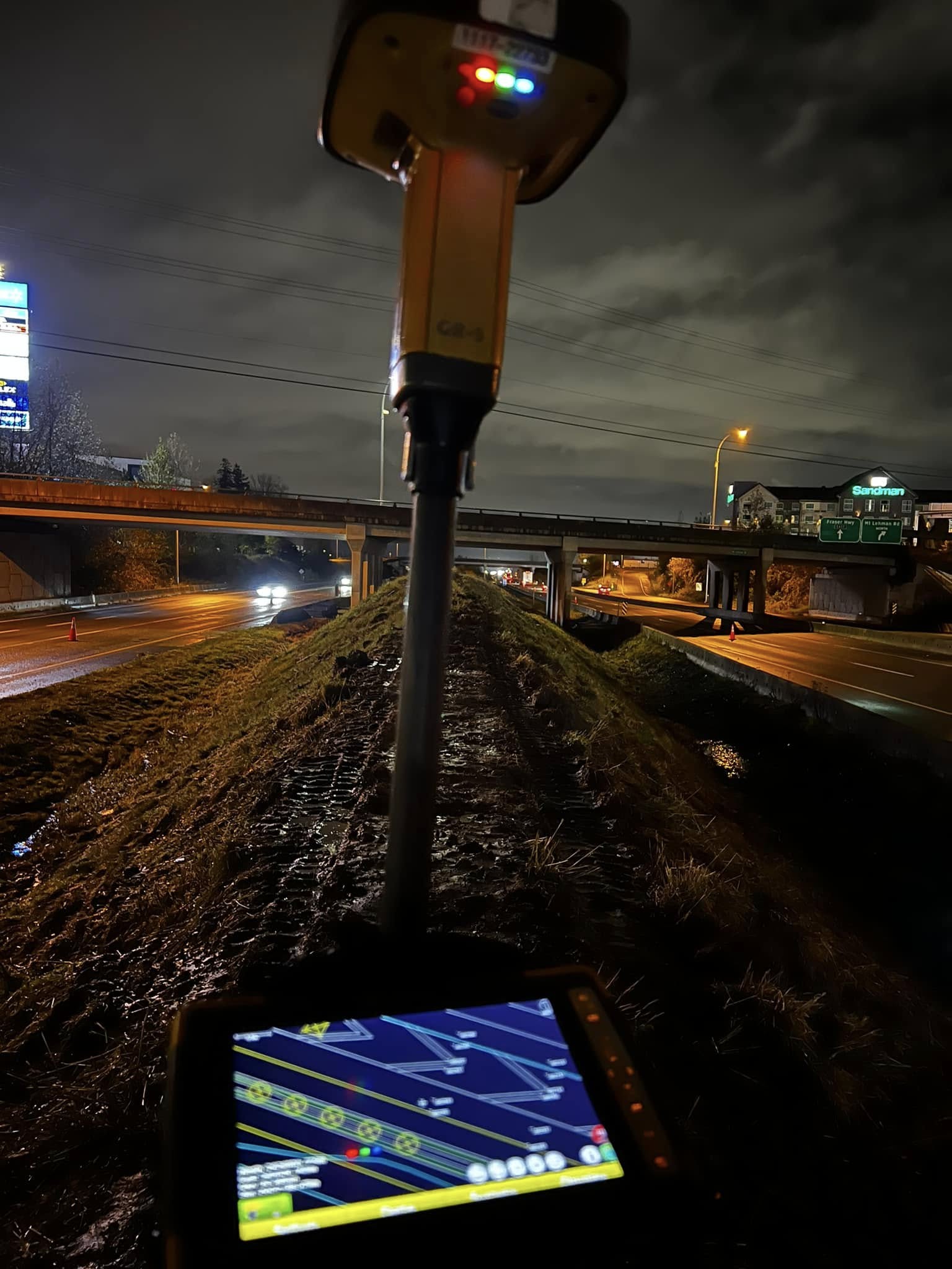
- Operate GPS (Global Positioning System) and other navigation equipment
- AutoCAD
- Data processing and systems
Area of Specialization: Construction
-
Survey Specialization: Topographic survey, Land survey, Engineering, Geodetic, Hydrographic, Land development, Urban
Responsibilities & Tasks
-
Operate survey instruments and devices
-
Participate in field surveys and conduct them using survey instruments and computer equipment to measure distance, angles, elevations, and contours
-
Supervise drafting and technical staff
-
Keep survey information, records, and measurements in systematic order
-
Assist in the calculation, analysis, and computation of measurements obtained during field surveys
-
Assist in the preparation of detailed drawings, charts, and plans
-
Analyze latitude, longitude, and angles, and compute trigonometric and other calculations to plot features, contours, and areas to a specific scale
-
Assist survey engineers or professional surveyors to develop methods and procedures for conducting field surveys
-
Determine precise geographic locations using global positioning systems (GPS) equipment
-
Prepare detailed drawings, charts, plans, survey notes, and reports
Who Can Apply
You can apply if you are:
- A Canadian citizen
- A permanent resident of Canada
- A temporary resident of Canada with a valid work permit
Note: Do not apply if you are not authorized to work in Canada. The employer will not respond to your application.