Our Core Services & Technical Capabilities
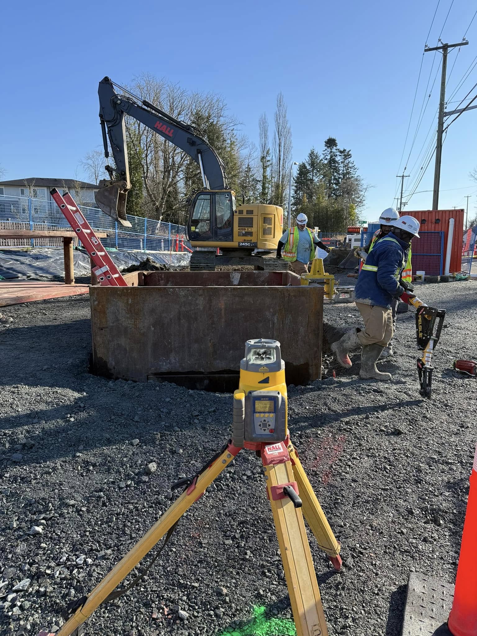
- Construction Layout & Staking: High-precision horizontal and vertical control layout for structural concrete, deep utilities, earthworks, and roadway corridors.
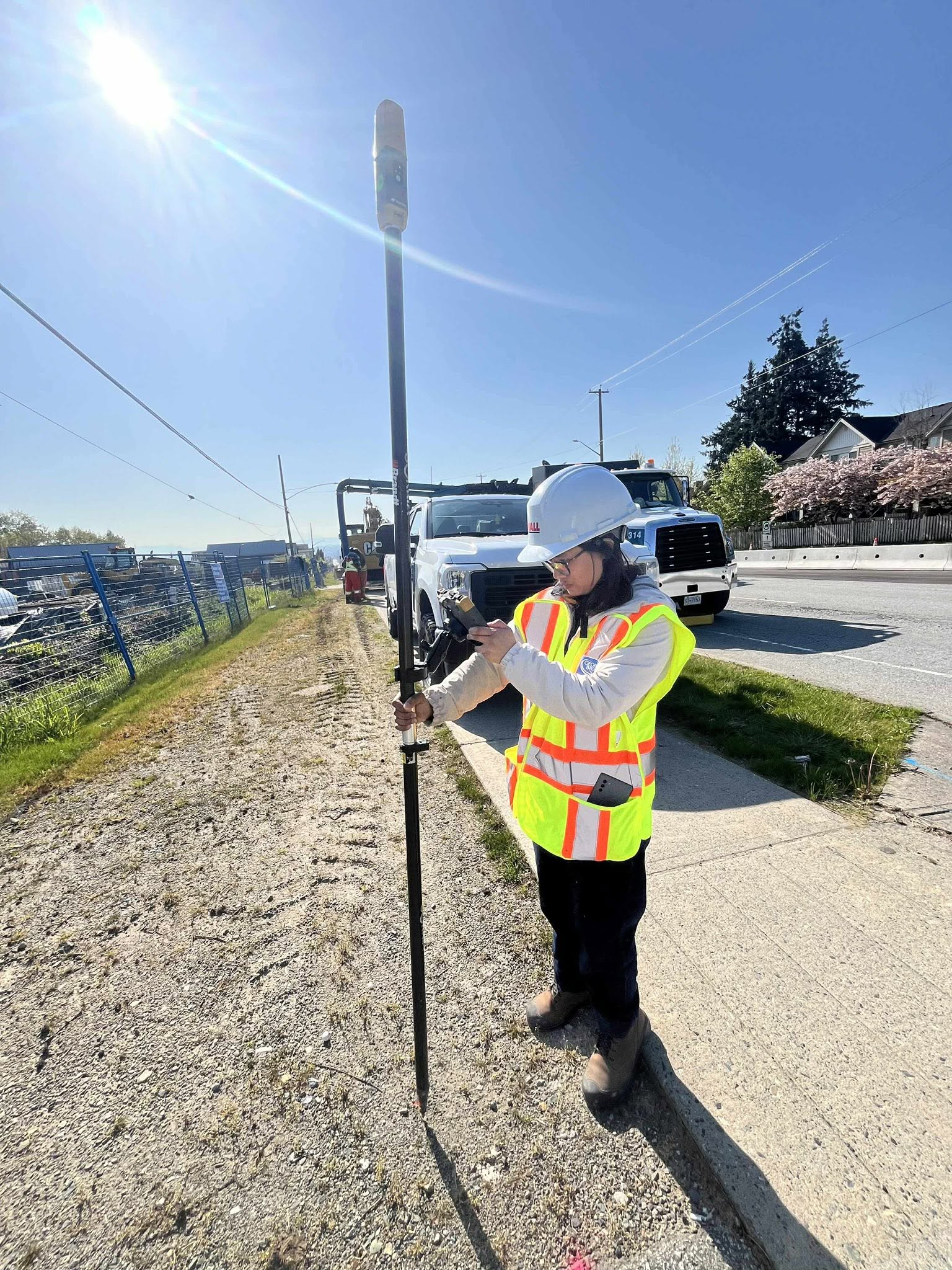
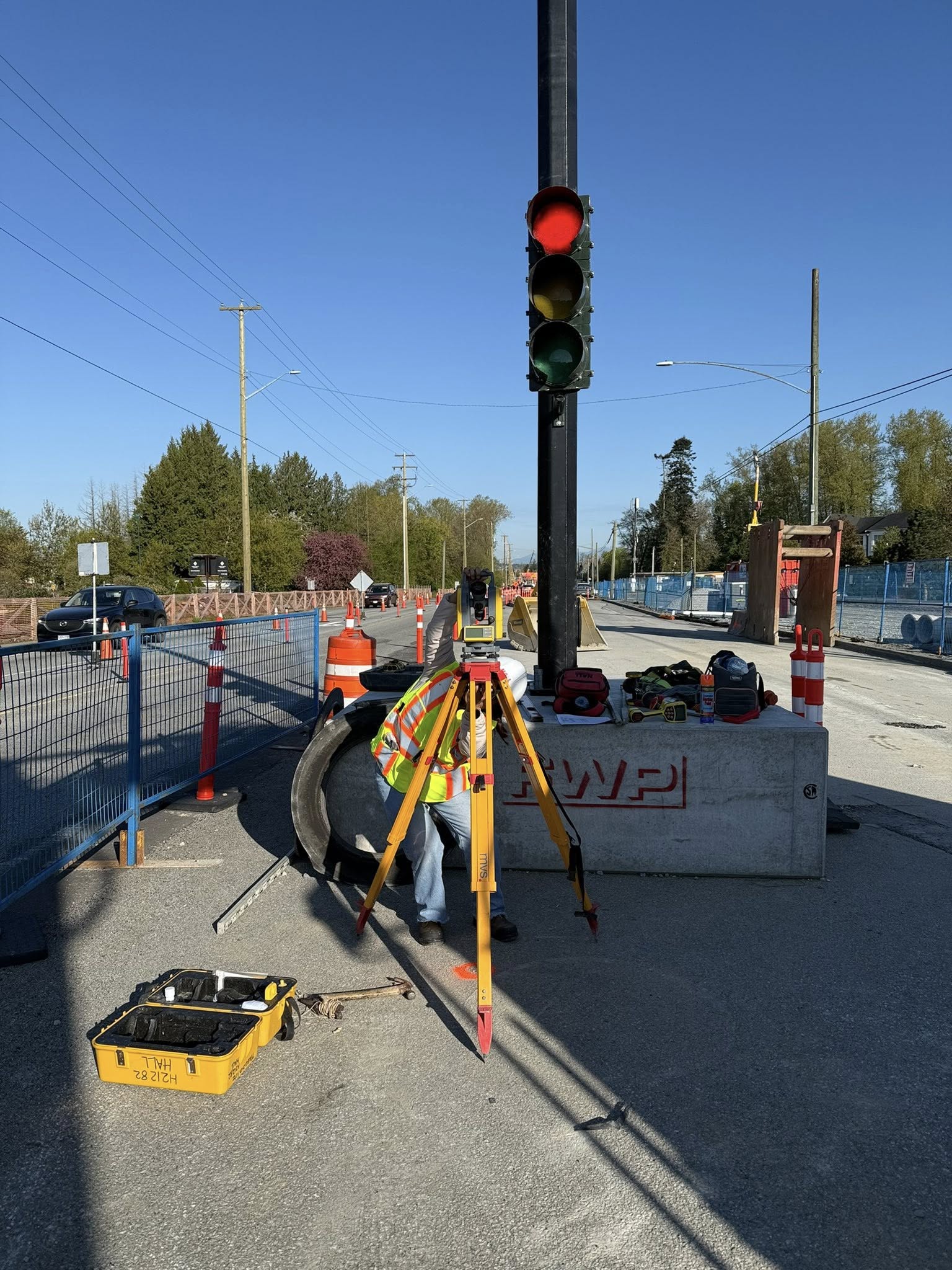
- GNSS & Robotic Terrestrial Surveys: Utilizing automated target tracking, reflectorless measurements, and localized RTK GNSS network corrections to maximize speed and eliminate human error.
- Utility Locating & Subsurface Verification: Detailed mapping and verification of existing underground utilities to protect your site from catastrophic utility strikes.
- Topographic & As-Built Surveys: High-density spatial mapping for design-phase planning, as well as precise post-construction as-built handoffs for municipal sign-offs.
- Machine Control Support: Seamless integration of digital 3D design files into your heavy machinery’s onboard GPS guidance systems, including local site calibrations.
- Monitoring & Deformation Surveys: High-precision automated monitoring of surrounding structures, retaining walls, and soil slopes to ensure zero structural movement during heavy excavation.
Our Proven 3-Phase Workflow
To ensure zero errors and seamless field-to-office communication, every project we take on follows our strict quality assurance workflow:
Phase 1: Pre-Construction & Consultation
We collaborate directly with your project managers and engineering team to analyze design files, verify digital CAD models, and plan site-specific control monuments. We perform an initial risk assessment to identify potential survey challenges before our boots hit the ground.
Phase 2: Precision Field Operations
Our experienced survey crews deploy to your site with the industry’s best hardware. By combining RTK GNSS systems with robotic total stations, we establish highly accurate control networks and perform redundant measurements to mathematically verify all layout points.
Phase 3: QA/QC & Digital Handoff
All field data is processed through industry-standard geomatics software. We perform rigorous quality-control checks, cross-referencing our field measurements against design plans before delivering clean, CAD-ready as-built data directly to your stakeholders.