Health, Safety & Environmental (HSE) Commitment
At NB Onoya, we believe that an accurate survey is a safe survey. Safety is deeply integrated into our daily business operations:
- Field-Level Hazard Assessments (FLHA): Conducted every morning on every site before work begins.
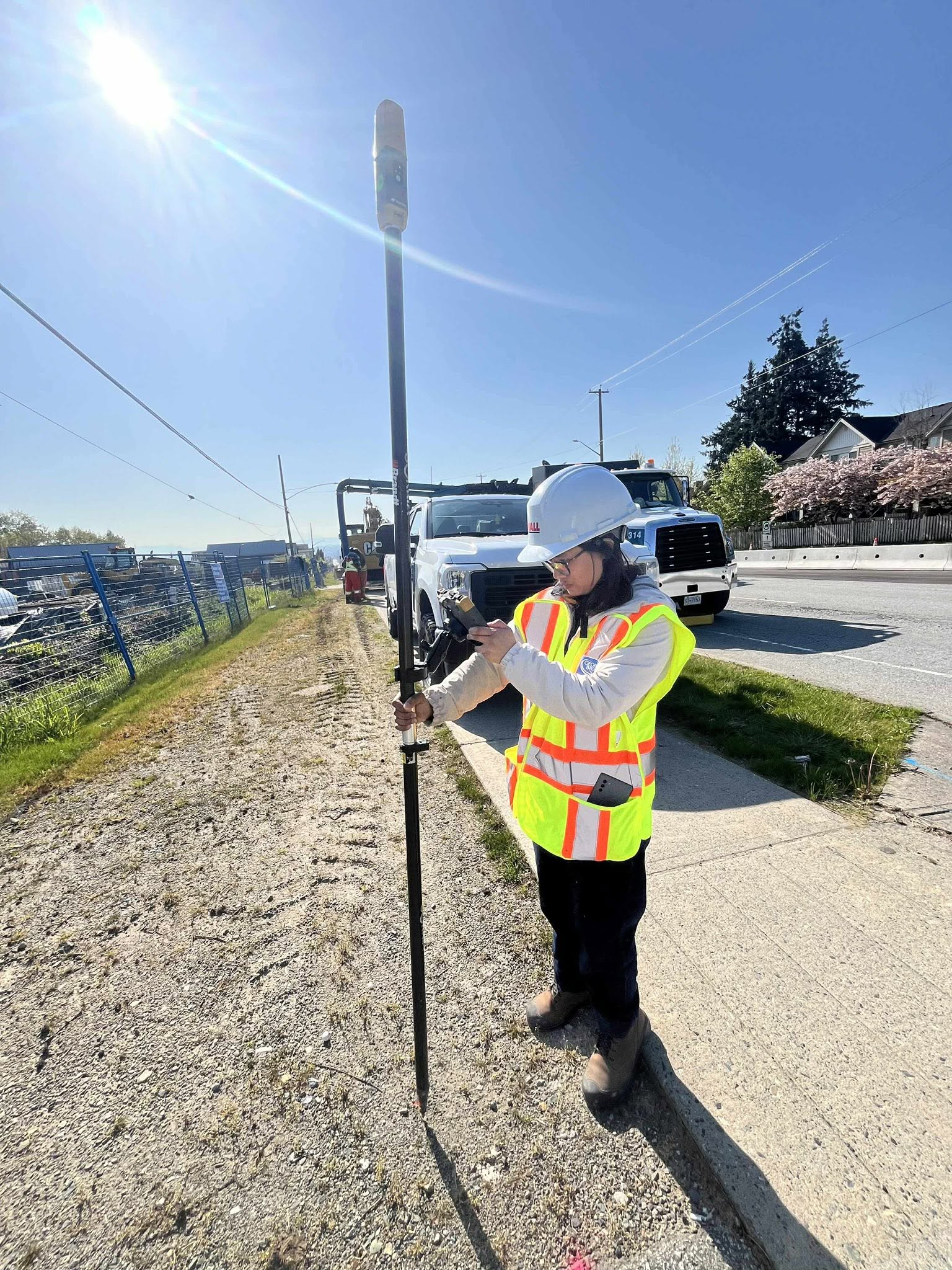
- Strict PPE Compliance: Our crews are equipped with up-to-date, high-visibility safety gear, steel-toe boots, and site-specific safety equipment.
- Proactive Risk Mitigation: We maintain strict safe work procedures, particularly in high-risk environments such as active roadways, heavy machinery zones, and airport runways.
- Continuous Training: Our 10 survey professionals undergo regular safety training, first-aid certification, and site-specific orientations.
Our Commitment to Quality Workmanship
At NB Onoya, quality is not a final inspection step—it is a continuous standard built into every measurement we take on-site. We understand that the structural integrity of multi-million dollar infrastructure projects rests on the accuracy of our initial control and layout.
- Strict Quality Control (QC) Processes: Every field survey undergoes rigorous, multi-tiered quality control checks to mathematically eliminate errors before layout data is handed over to construction crews.
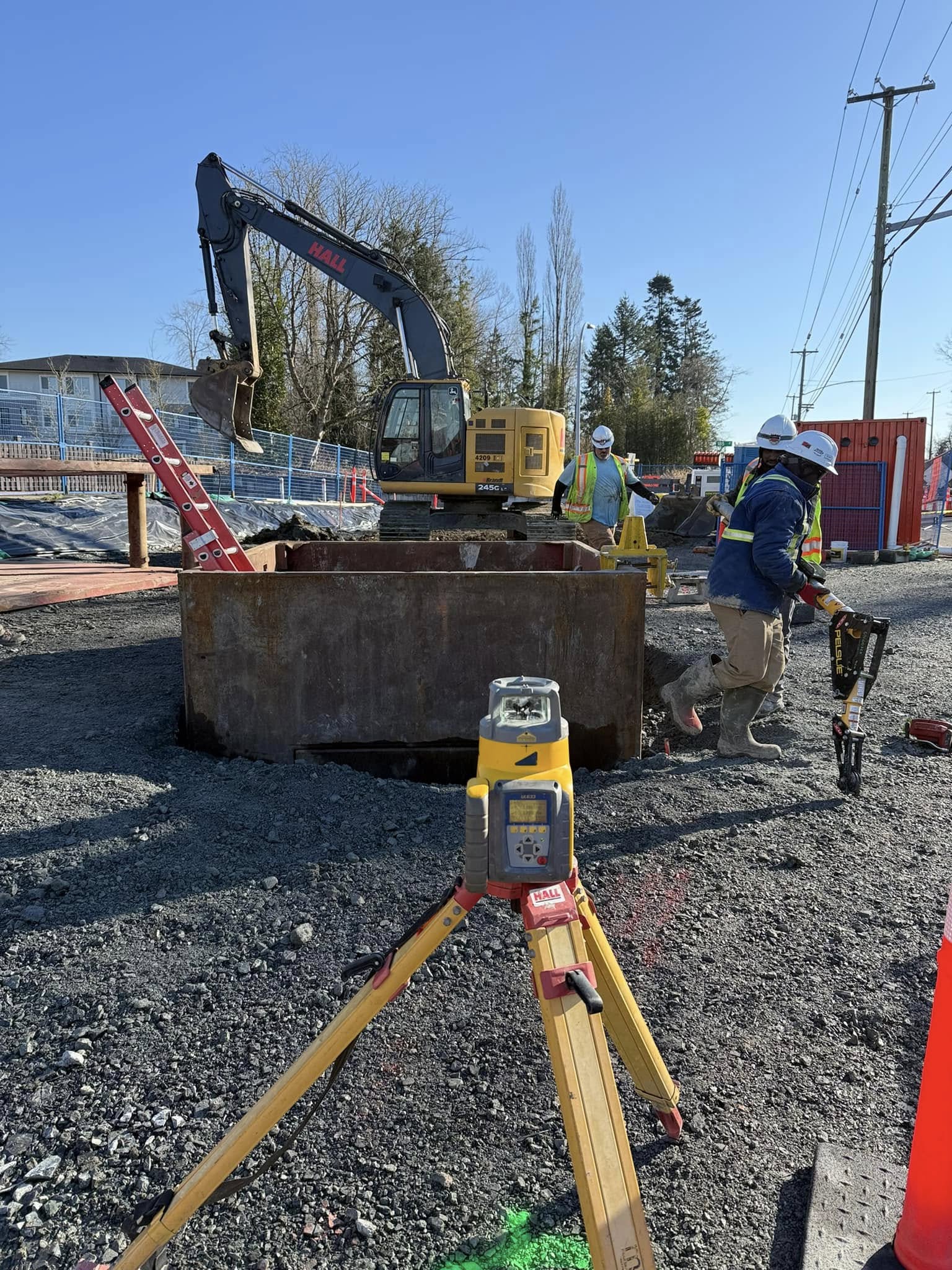
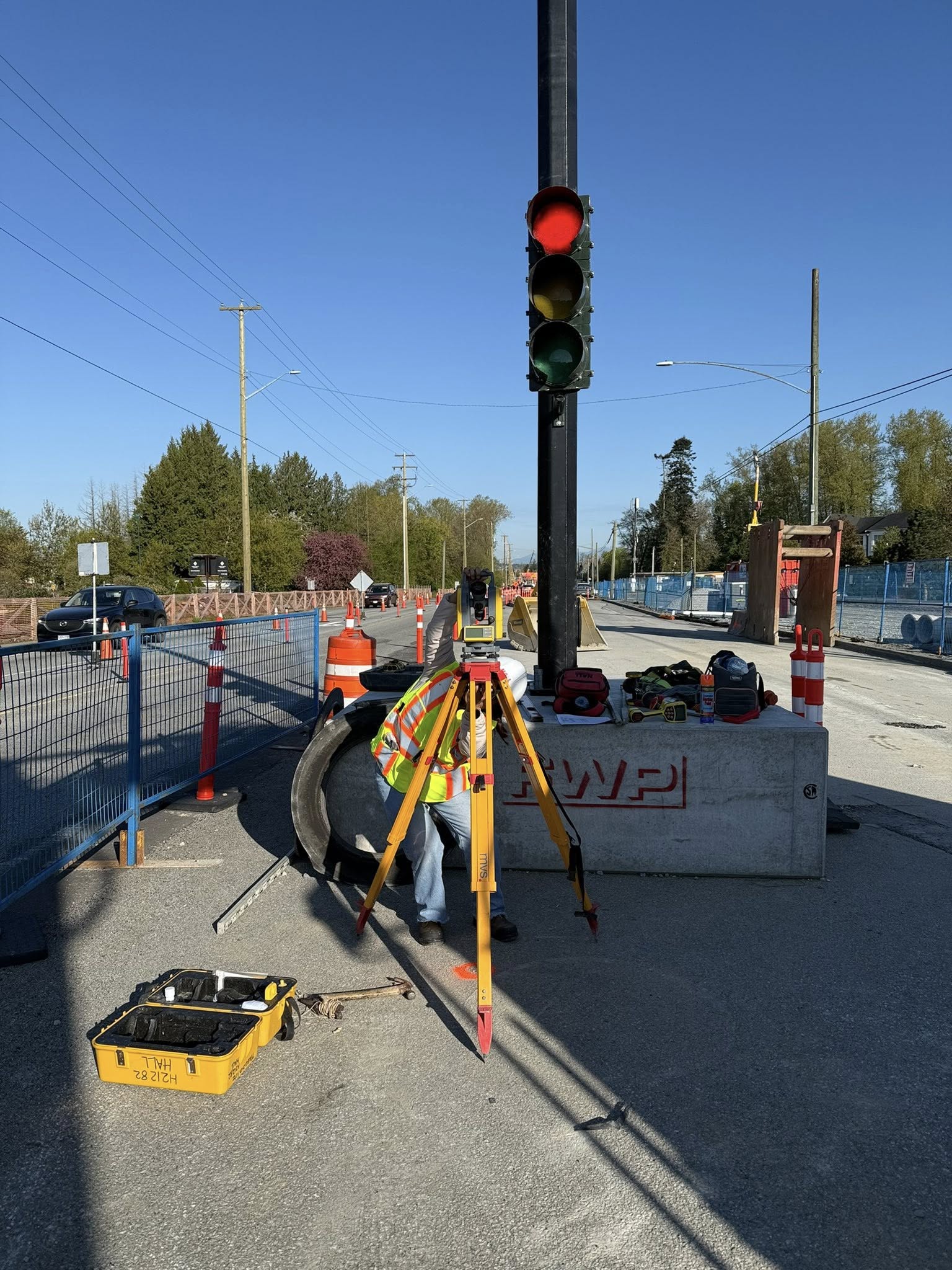
- Redundant Measurement Frameworks: We utilize redundant measurement procedures, verifying robotic total station layouts against independent project control monuments and cross-checking elevations using differential leveling to ensure absolute vertical and horizontal precision.
- No-Compromise Accuracy: Our field personnel combine meticulous field practice with strong technical backgrounds in geomatics, civil engineering, and hydrographic surveying to maintain the highest standards of professionalism.
- State-of-the-Art Technology: By pairing skilled operators with advanced Topcon and Trimble RTK GNSS systems and automated terrestrial robotic total stations, we minimize human error and guarantee consistent, repeatable accuracy across all project phases.
Professional Project Management & Coordination
An accurate survey is only as valuable as the communication behind it. We manage our projects with the same level of precision that we bring to our field measurements, serving as a proactive and highly responsive partner to prime contractors, engineers, and project owners.
- Seamless CAD & Workflow Integration: We utilize industry-standard survey software fully integrated with CAD and machine control workflows, enabling us to deliver clean, ready-to-use digital files directly to project designers and grading operators.
- Proactive Stakeholder Coordination: Our project management approach emphasizes seamless coordination with project stakeholders, ensuring our survey teams are aligned with your critical construction schedule to prevent costly layout-related downtime.
- Cost-Effective & Efficient Delivery: We manage resources, timelines, and survey crews dynamically, allowing us to deliver highly accurate, efficient, and cost-effective geomatics solutions that keep your project moving forward without delay.
- Comprehensive Documentation: From initial field computations to final as-built submittals and utility verification mapping, we provide clear, traceable data trails and comprehensive digital records for municipal handoffs and contract compliance.